Today's Surf Conditions at Waimea
Spot Overview & Description
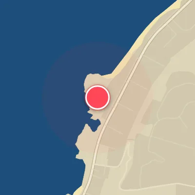
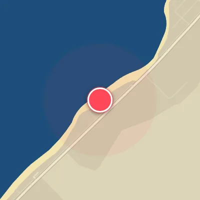
Waimea Bay stands as the North Shore’s ultimate big-wave proving ground, a right-breaking reef heaving over jagged lava rock. When deep-water swells from the north-northwest slam into the underwater shelf well outside the headland, they detonate into the bay’s trademark sudden, heavy takeoff—a moment of pure commitment that feeds into a long, thundering run toward the channel. This is the benchmark wave, reserved exclusively for expert surfers armed with gun boards, deep big-wave experience, and total focus. On quieter days when the main bay lies dormant, look to Pinballs along the lava rock point for shorter, punchy pockets that still demand respect.
Best Surf Season & Climatology
Best Surf Season (October - March)
Waimea is a winter venue through and through. As the North Pacific storm track ramps up in October, the first serious NW and NNW groundswells of the season start lighting up the bay. By December and January the Aleutian Low is at its peak, flinging long-period swell trains across the Pacific toward Hawaii. Average heights climb to around 9ft (2.7m) with 12.8s periods in January, and the data shows NNW and NW directions supplying the majority of the open-ocean swell. These are powerful, pitching waves that hit the WNW-facing shore almost head-on. The saving grace is the trade-wind regime: E/ESE/SE flow blows offshore or side-offshore, keeping the faces relatively clean even when the bay is maxed out. This is the season when Waimea earns its reputation; from October through March you need respect, experience and the right board.
Detailed Surf Information for Waimea
Detailed Surf Forecast
Access our detailed 8-day swell and wind forecast charts for Waimea with tidal graphs, period ranges, and daily forecast text summaries.
Swell & Wind Statistics
Explore historical swell consistency, wave heights, and offshore wind windows month-by-month, compiled from over 40 years of data.
Historical Surf Report
Browse the historical database archives to view past wave reports and understand spot climatology during specific years and months.