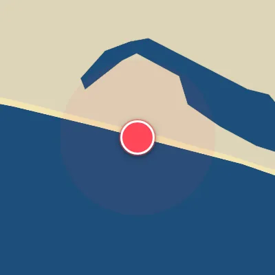
Today's Surf Conditions at Quepos
Best Surf Season & Climatology
Best Surf Season (December - April)
The dry season delivers the most consistent combination of rideable swell and workable wind. As the Intertropical Convergence Zone retreats south, the northeast trade winds strengthen and blow offshore out of the NNE/NE/ENE quadrant, grooming the steady long-period SSW/SW groundswell into clean, rippable walls. Average wave heights sit in the 1.0-1.2m (3-4ft) range, but with periods of 12-14s the waves still carry plenty of punch. These months also bring the lowest rainfall of the year, making it far easier to find a truly glassy dawn session.
Detailed Surf Information for Quepos
Detailed Surf Forecast
Access our detailed 8-day swell and wind forecast charts for Quepos with tidal graphs, period ranges, and daily forecast text summaries.
Swell & Wind Statistics
Explore historical swell consistency, wave heights, and offshore wind windows month-by-month, compiled from over 40 years of data.
Historical Surf Report
Browse the historical database archives to view past wave reports and understand spot climatology during specific years and months.