- Home
- ...North America
 United States
- Honolua Bay
Today's Surf Conditions at Honolua Bay
Spot Overview & Description
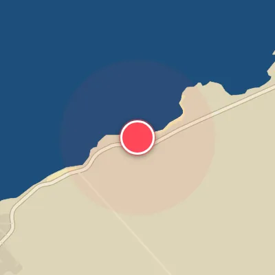
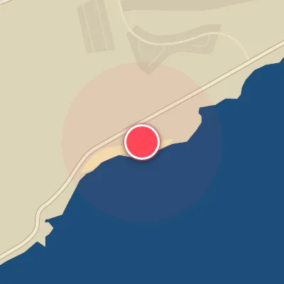
Honolua Bay: a legendary right-hand point break that peels over an uneven reef, earning its reputation as one of Maui’s most iconic waves. When conditions align, the ride can stretch for hundreds of yards, threading through distinct sections—Coconuts, Outside, Cave, and Keiki Bowl—before dying out in the channel. Expect hollow, pitching lips against a dramatic backdrop of towering sea cliffs and dense tropical foliage. Coconuts serves as the primary takeoff zone, typically holding the most size and feeling the brunt of the trade winds. Further down the line, Outside can transform into a fast, hollow wall, while Cave delivers the wave’s most critical, draining barrel—and often the most crowded lineup. Keiki Bowl, the final stage, is smaller but lightning fast, breaking over a shallow, razor-sharp reef that demands respect from anyone stepping in.
Best Surf Season & Climatology
Best Surf Season (November - March)
The North Pacific storm track powers up through late fall and winter, with the Aleutian Low and a series of mid-latitude cyclones firing long-period swell toward the island chain. This is when Honolua Bay sees its most consistent and most powerful waves. Average swell heights peak near 6-7ft (1.8-2.1m) from December through February, and periods stay in the 11.6-12.6s range, putting the bay in the powerful long-period class. The swell direction rose shows the biggest clusters under NNW, NW, and N, which are exactly the directions that hit this northwest-facing reef most effectively. Winter also brings a higher share of southwest- to west-southwest wind shifts in the wake of cold fronts, giving the bay more clean, groomed days.
Detailed Surf Information for Honolua Bay
Detailed Surf Forecast
Access our detailed 8-day swell and wind forecast charts for Honolua Bay with tidal graphs, period ranges, and daily forecast text summaries.
Swell & Wind Statistics
Explore historical swell consistency, wave heights, and offshore wind windows month-by-month, compiled from over 40 years of data.
Historical Surf Report
Browse the historical database archives to view past wave reports and understand spot climatology during specific years and months.