- Home
- ...North America
 United States
- Long Beach
Today's Surf Conditions at Long Beach
Spot Overview & Description
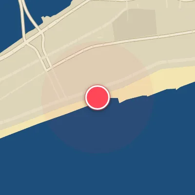
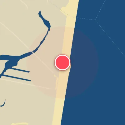
Lincoln Blvd serves up a classic sand-bottom beachbreak, with lefts and rights sculpted by the jetties that define Long Beach’s shoreline. The lefts consistently outshine the rights, offering a more dynamic ride, especially when a good swell rolls in. At its best, the sandbars peak up with pushy, roping lefts that race off the jetty, delivering a fun, punchy wave that keeps you on your toes.
Best Surf Season & Climatology
Best Surf Season (October - March)
The heart of Long Beach's surf year arrives when the North Atlantic storm track wakes up. From October through March, passing extratropical cyclones and Nor'easters kick up larger, more consistent swells from the E/SE/S window, while post-frontal high pressure delivers frequent offshore winds from the N/NW quadrant. Average wave heights run 4-5ft (1.2-1.5m), with periods hovering in the 7-8s band. That combination produces hollow, punchy sandbars and some of the most rideable waves of the year, although the colder months come with water temperatures near 4-8°C and serious winter rubber. When the NAO index slips negative, Nor'easters can park just off the Mid-Atlantic coast and send especially strong E/SE swell straight into the beach.
Detailed Surf Information for Long Beach
Detailed Surf Forecast
Access our detailed 8-day swell and wind forecast charts for Long Beach with tidal graphs, period ranges, and daily forecast text summaries.
Swell & Wind Statistics
Explore historical swell consistency, wave heights, and offshore wind windows month-by-month, compiled from over 40 years of data.
Historical Surf Report
Browse the historical database archives to view past wave reports and understand spot climatology during specific years and months.