- Home
- ...North America
 United States
- Shipwreck Beach
Today's Surf Conditions at Shipwreck Beach
Spot Overview & Description
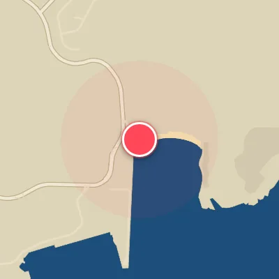
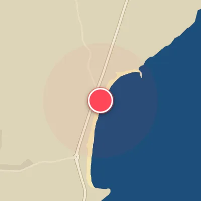
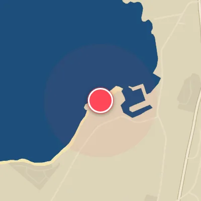
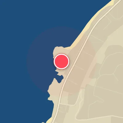
Shipwrecks remains one of the more elusive entries in the surf atlas, with scant published data available to craft reliable forecasts. The lack of verified notes on swell direction, wind preferences, tide influence, access, or hazards means this spot is essentially a blank slate—a hidden gem for the intrepid explorer who relies on local knowledge and keen observation to unlock its potential.
Best Surf Season & Climatology
Best Surf Season (December - February)
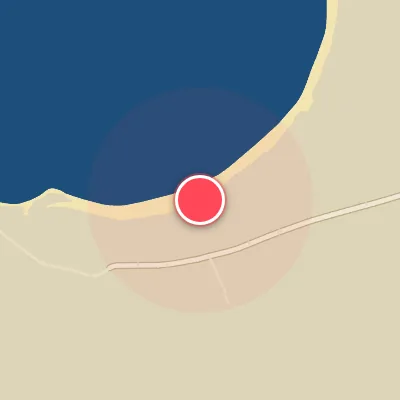
As the Aleutian Low deepens and the North Pacific storm track fires on all cylinders, Shipwreck Beach gets its most reliable winter groundswell. Average heights push to 7-8ft (2.3-2.4m) with periods around 12s, and the dominant NNW/NW swell directions produce the wrapping lines this south-facing beach needs. Offshore winds from the north quadrant show up 22-26 percent of the time, most often in the early morning, giving the winter months a clear edge in both size and shape.
Detailed Surf Information for Shipwreck Beach
Detailed Surf Forecast
Access our detailed 8-day swell and wind forecast charts for Shipwreck Beach with tidal graphs, period ranges, and daily forecast text summaries.
Swell & Wind Statistics
Explore historical swell consistency, wave heights, and offshore wind windows month-by-month, compiled from over 40 years of data.
Historical Surf Report
Browse the historical database archives to view past wave reports and understand spot climatology during specific years and months.