- Home
- ...North America
 United States
- Table Top
Today's Surf Conditions at Table Top
Best Surf Season & Climatology
Best Surf Season (November - March)
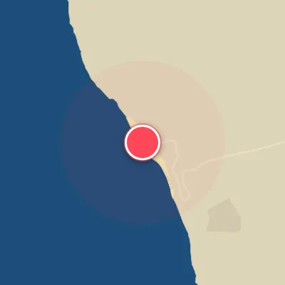
When the North Atlantic storm track wakes up in late autumn, Table Top's reefs finally get the swell direction they crave. The average wave height climbs to 5ft (1.5m) with 10-second periods, and the share of N, NNE and NNW energy rises sharply. These are the swells that line up with the beach's NNW exposure and send organized, powerful lines into the break. Swings in the North Atlantic Oscillation can shift the storm track south toward the Caribbean, and that is exactly what lights up Table Top. The trade winds are still present, but the frequent ENE/E cross-shore flow means you need to pick the windows when the wind turns southeast or south-southwest to get that clean offshore texture.
Detailed Surf Information for Table Top
Detailed Surf Forecast
Access our detailed 8-day swell and wind forecast charts for Table Top with tidal graphs, period ranges, and daily forecast text summaries.
Swell & Wind Statistics
Explore historical swell consistency, wave heights, and offshore wind windows month-by-month, compiled from over 40 years of data.
Historical Surf Report
Browse the historical database archives to view past wave reports and understand spot climatology during specific years and months.