- Home
- ...North America
 United States
- Ventnor Pier
Today's Surf Conditions at Ventnor Pier
Spot Overview & Description
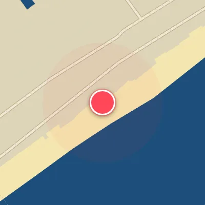
Ventnor Pier offers a classic sand-bottom setup with long, peeling waves peeling off both sides of the structure, delivering clean rights and lefts for versatile riding. When conditions align, the lines stretch out with generous shoulder-hugging sections, making for inviting carve-and-race walls. Paddling out is generally low-key, with manageable currents that keep the session more about positioning than battling. Suitable for intermediate to advanced surfers looking to capitalize on a reliable, user-friendly break when the swell hits the right angles.
Best Surf Season & Climatology
Best Surf Season (October - March)
From October through March, Ventnor Pier sits squarely in the path of the North Atlantic storm track. Cold fronts and nor'easters spin up low pressure off the Mid-Atlantic, sending ESE, SE, SSE and S swell into this south-southeast-facing beach. The average swell height holds in the 4-5ft (1.2-1.5m) range with periods mostly in the 7-8s band, and the dominant wind pattern shifts to the northwest quadrant - WNW, NW and NNW - which blows cleanly offshore and keeps the surface relatively smooth. This is the most consistent and most surfable part of the year, especially when the NAO goes negative and the polar jet buckles south.
Detailed Surf Information for Ventnor Pier
Detailed Surf Forecast
Access our detailed 8-day swell and wind forecast charts for Ventnor Pier with tidal graphs, period ranges, and daily forecast text summaries.
Swell & Wind Statistics
Explore historical swell consistency, wave heights, and offshore wind windows month-by-month, compiled from over 40 years of data.
Historical Surf Report
Browse the historical database archives to view past wave reports and understand spot climatology during specific years and months.